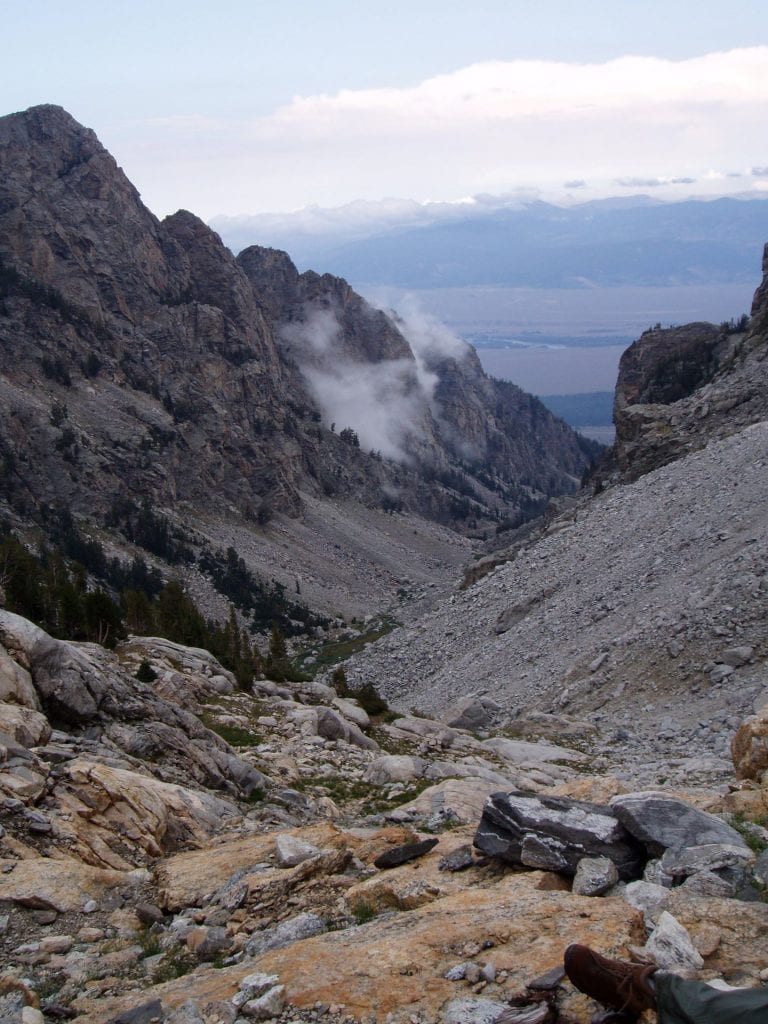
Hillslope erosion can be difficult to quantify in alpine landscapes. Cosmogenic nuclides are used to measure stable ridge surfaces, which erode very slowly, however extensive talus deposits indicate that hillslope erosion is important to landscape evolution. I use field mapping, GPS, and GIS to estimate the volume of rockfall deposits in the Teton Range and calculate hillslope erosion rates. I also evaluate cosmogenic nuclide concentrations from amalgamated cobbles sampled from talus surfaces.

Ongoing Projects
Analysis of cosmogenic nuclides in talus fan boulders, cobbles, and pebbles.
Using GIS to estimate talus fan thickness.
Publications
Tranel, L.M., Spotila, J.A., Binnie, S.A., Freeman, S.P.H.T., 2015, Quantifying variable erosion rates to understand the coupling of surface processes in the Teton Range, Wyoming, Geomorphology, v. 228, 409-420.
Tranel, L.M. and Strow, M.L., 2017, Analysis of cosmogenic nuclides in amalgamated talus fan cobbles to study alpine erosion in the Teton Range, Wyoming, Geosphere, v. 13, no. 1. 10.1130/GES01297.1.